[custom_adv]
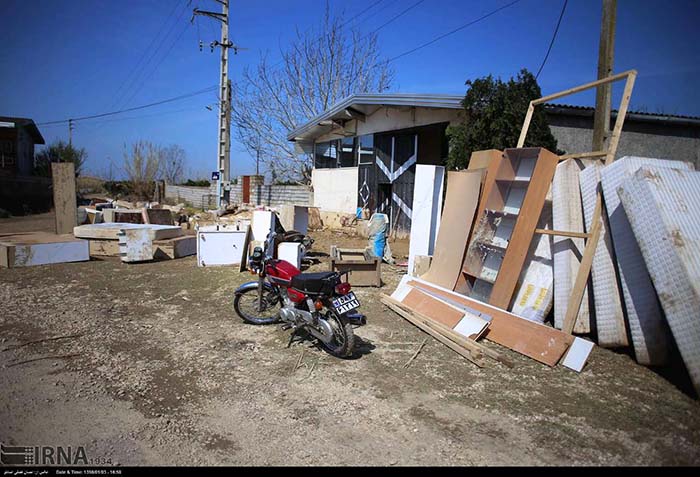
homeland is also exposed to floods, considering the severe damage recently incurred in Golestan province, particularly Gorganroud watershed. Due to the importance of the subject and lack of comprehensive studies on flood risk in the country’s watersheds, it is crucial to perform flood risk assessment using appropriate tools, such as Landsat ETM+ imaging and digital elevation model data collections in geographic information system throughout the region.

