[custom_adv]
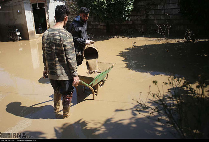
For this purpose, database maps of 6 subwatersheds in Gorganroud watershed were prepared in 5 layers affecting flooding in the region. By overlaying and weighing three layers in GIS software, a layer of flood hazard intensity was obtained.